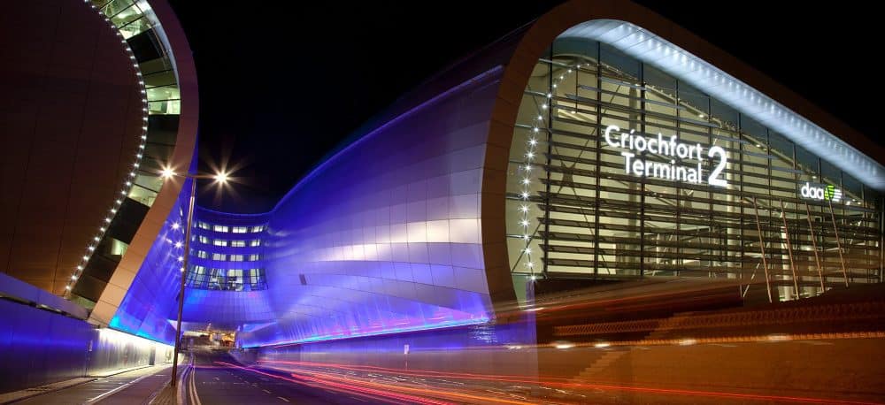
ESRI Ireland, a market leader in Geographic Information Systems, has announced that daa has won a Special Achievement in GIS Award at the ESRI International User Conference in San Diego. daa was chosen ahead of 300,000 eligible candidates from across the world for its deployment of ESRI’s mapping technology across Dublin Airport to enhance the passenger experience and improve day-to-day operations.
Operating Ireland’s busiest airport, daa handles more than 2,300 flights every week and welcomed 31.5 million passengers in 2018. This involves the daily management of 35,000 assets across the airport, including lifts, escalators, runways and boarding gates. To maintain a consistent and safe experience for an increasing number of passengers, daa required a single, integrated, real-time platform to overview the performance of all of its assets.
ESRI Ireland worked with daa to replace its manual, paper-based systems with a streamlined system that allows management to easily track the day-to-day running of the airport. The solution will enable the airport to enhance passenger wayfinding, maximise route efficiency, and present commercial opportunities while minimising bottlenecks and improving the overall customer experience.
By introducing mobile, desktop and web-based mapping applications, airport staff can, for example, remotely report safety issues and collect detailed reports of any incidents as they encounter them in the airport. Collating and analysing this data on the ESRI platform, airport management can pinpoint, using heat maps, high risk areas to pre-empt and manage likely future issues.
The app’s mobile functionality also enables airport employees to report and monitor flight-risk hazards on the 1,700,000 sq m of airfield, including drone and laser incursions. The technology has also been used to report on incidents involving birds crossing flight paths, over a period of up to five years, to reveal incursions, near misses and migratory patterns, helping to reduce the number of incidents.
The solution has drastically improved business efficiencies in the airport. Following passenger growth of 52% from 2013 to 2018, ESRI’s platform grants the ability to analyse large volumes of data and gain accurate information with which to make better decisions about the future of the airport and ensure sustainable continued growth.
Jack Dangermond, ESRI’s Founder and President, said: “I am delighted to present Dublin Airport with this award in recognition of its impactful use of geographic information systems. daa has demonstrated that mapping technology can not only streamline business operations in an airport environment, but also make a real difference to passengers, creating a more seamless and comfortable airport experience.”
Morgan Crumlish, Spatial Data Manager, Dublin Airport, said: “It’s a fantastic honour to receive this award in acknowledgment of how our team has embraced digital transformation in Dublin Airport. ESRI Ireland has provided first-class support to ensure that we had all of the necessary knowledge to make the project a success. It’s been heartening to see every member of airport staff use the app.
“It was great to be invited along to ESRI’s conference in San Diego to witness the other fascinating ways in which businesses – big and small – are using GIS software. As an airport that welcomed 31.5 million passengers through our doors in 2018, we are always looking at how best to streamline our processes and make our customers’ journeys as smooth as possible. Leveraging the most innovative technology, Dublin Airport will continue to be at the forefront of a new age of travel.”
Held in the San Diego Convention Centre, ESRI’s International User Conference is the world’s largest GIS conference with over 19,000 attendees. The SAG Awards recognise outstanding applications of ESRI’s ArcGIS technology – a digital mapping platform used by organisations globally to gather, manage, analyse and map data.


